Rafforzare la capacità istituzionale delle autorità pubbliche e delle parti interessate e un'amministrazione pubblica efficiente

Rafforzare la capacità istituzionale e la "governance" transfrontaliera
L’obiettivo principale del progetto è stato quello di rafforzare le capacità di cooperazione istituzionale con la mobilitazione delle autorità pubbliche e degli operatori principali della pianificazione territoriale al fine di creare soluzioni congiunte volte all’armonizzazione dei sistemi e alla gestione più efficace dell’area transfrontaliera, soprattutto mediante una piattaforma transfrontaliera per l’armonizzazione dei dati territoriali.
L’obiettivo del work package (WP) 1 è la stesura e la stipula del Protocollo di gestione transfrontaliera del territorio, quale base per la realizzazione della piattaforma transfrontaliera di armonizzazione dei dati del territorio. Il protocollo favorirà nel contempo l’esercizio continuo dell’infrastruttura transfrontaliera garantendo dati armonizzati del territorio anche dopo l’ultimazione del progetto. Nel protocollo saranno altresì definite le responsabilità delle istituzioni per garantirne la base tecnica e le componenti della piattaforma a progetto ultimato.
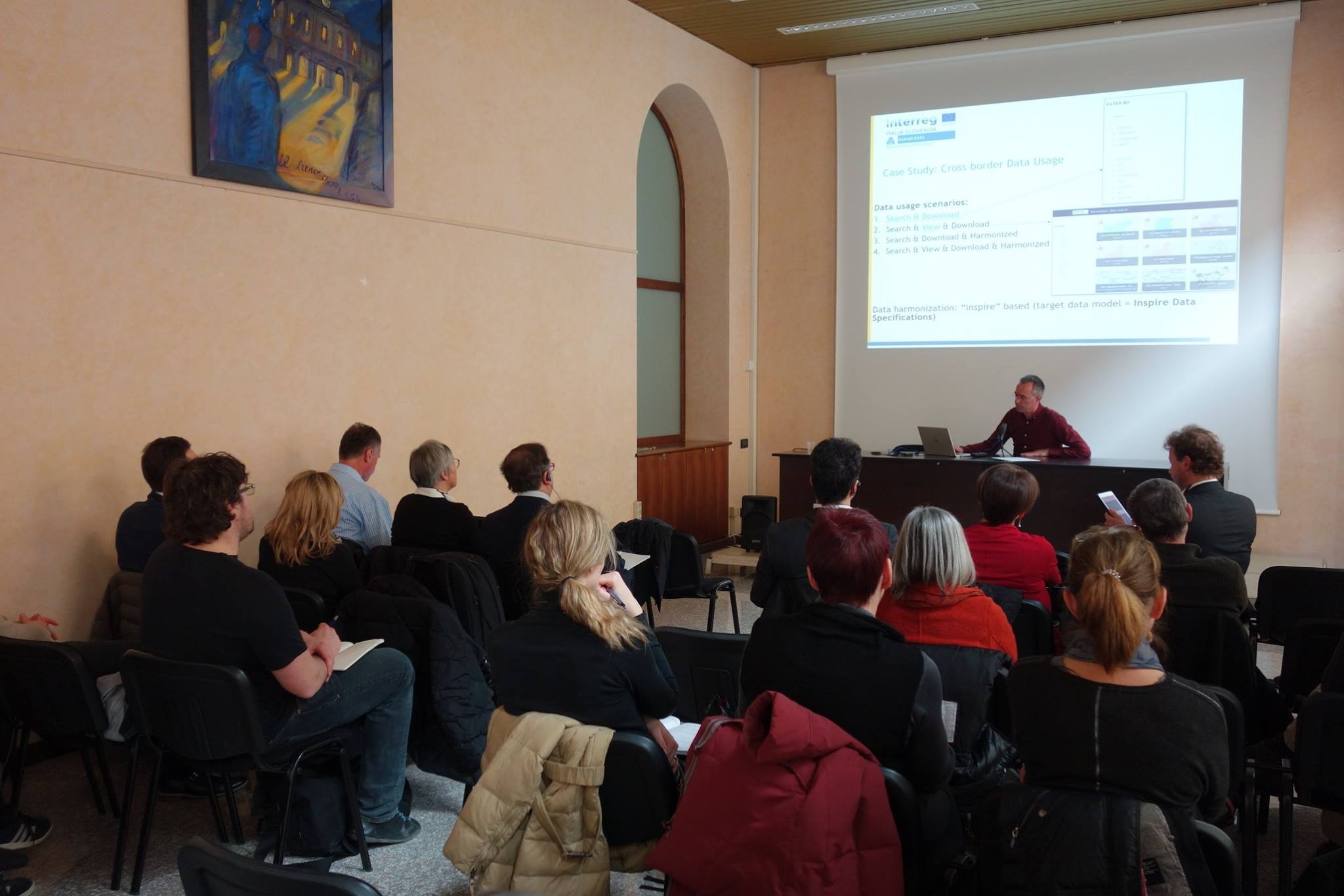
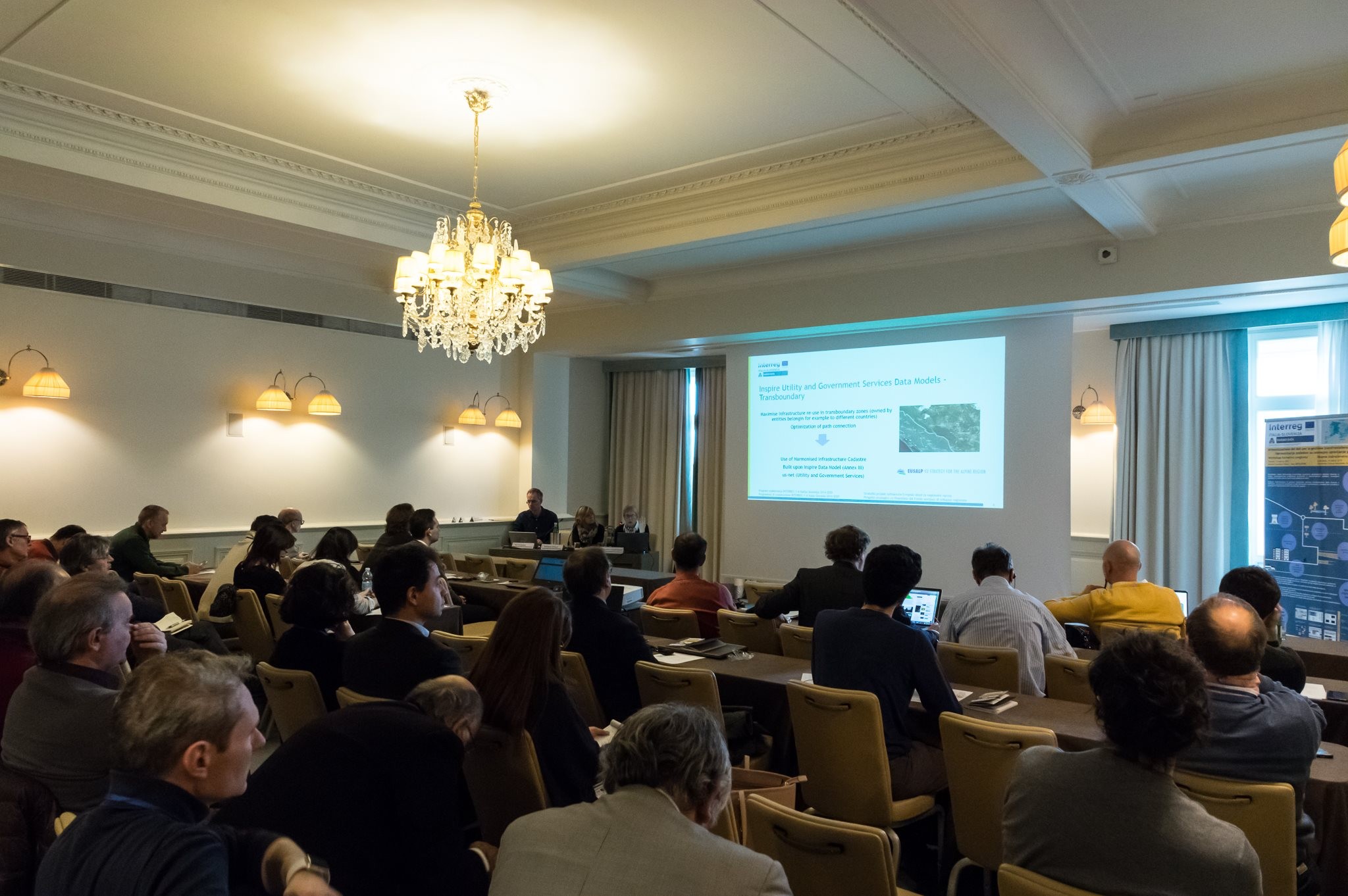
L’obiettivo del WP 2 è realizzazione della piattaforma territoriale transfrontaliera con dati e servizi armonizzati che consentono la ricerca, la consultazione ed il trasferimento dei dati del territorio utilizzabili in processi commerciali.Il punto di partenza fondamentale del progetto è di evitare la realizzazione di una piattaforma speciale o una completamente nuova, realizzata meramente per lo scopo del progetto. Appare invece più sostenibile e sensato l’impiego di piattaforme territoriali esistenti, che in parte già possano adottare i servizi informatici, conformi alla direttiva INSPIRE. Il vantaggio fondamentale di questo tipo di approccio risiede nel fatto che verranno sviluppate applicazioni da entrambe le parti, facilitando soluzioni alle quali gli operatori sono già abituati, dato che i servizi suddetti consentono l’utilizzo di dati armonizzati e l’accesso sulla piattaforma potrà avvenire anche per il tramite di dati dall’altra parte del confine.
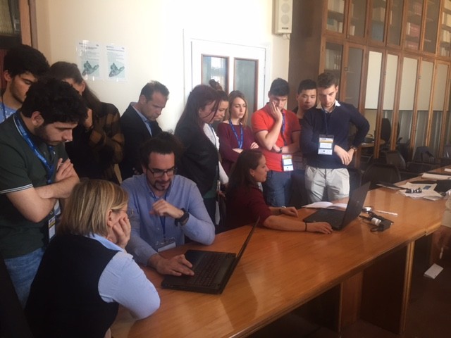
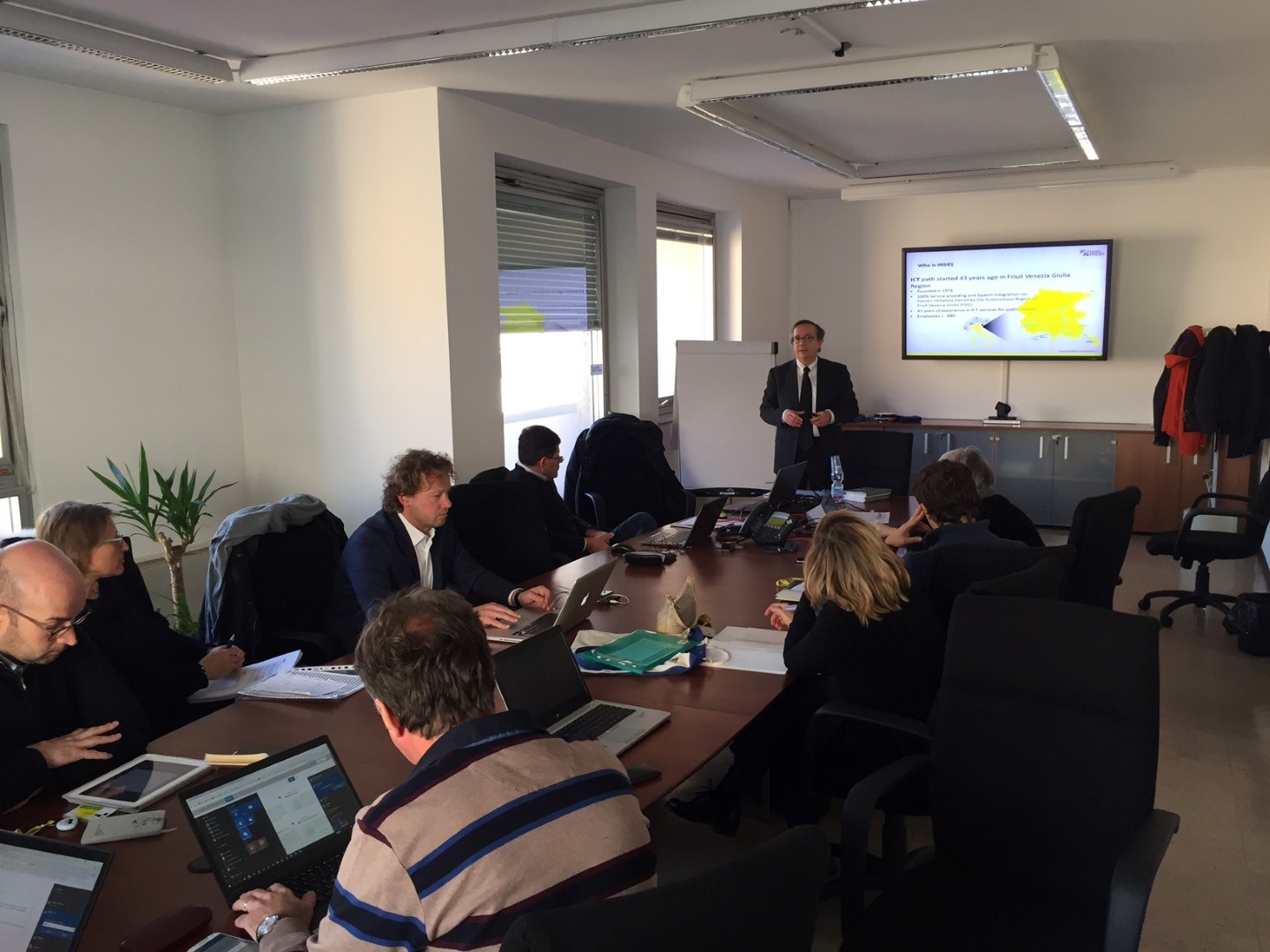
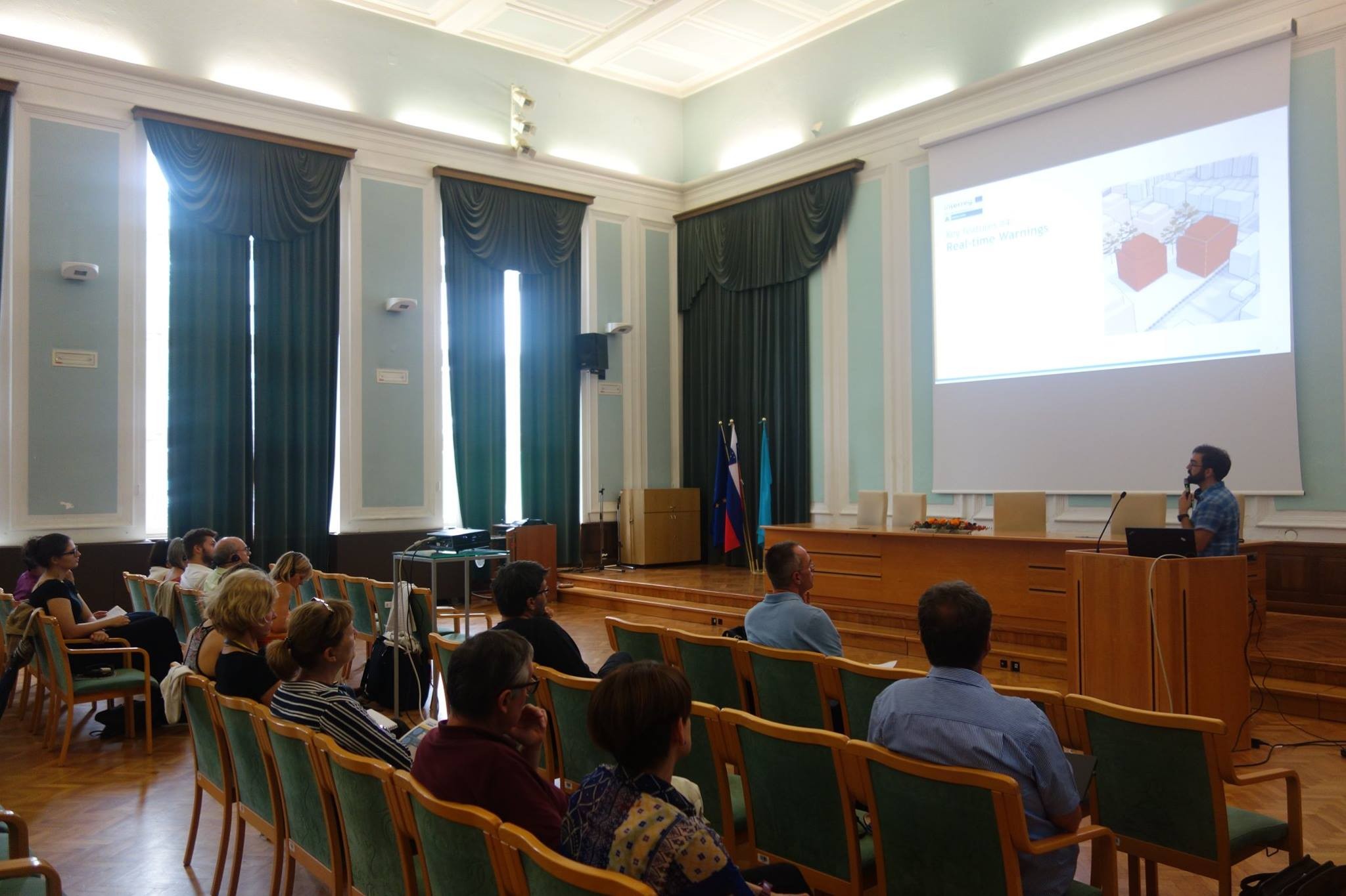
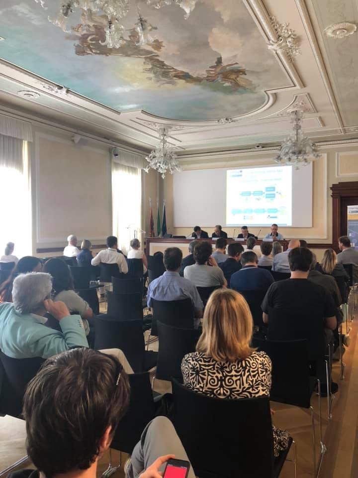
A sostegno del miglioramento delle potenzialità e della gestione del territorio transfrontaliera saranno organizzati corsi di formazione congiunti transfrontalieri e workshop sul territorio italiano e sloveno, che includeranno lo scambio di buone prassi ed esigenze sul tema della gestione del territorio, la conoscenza di dati e metadati, nonché l’utilizzo della piattaforma territoriale transfrontaliera congiunta (PTTC), sulla quale verranno visualizzate le soluzioni ai problemi del territorio. I workshop coinvolgeranno i responsabili delle politiche di sviluppo territoriale, le figure chiavi di diversi ambiti di gestione del territorio, gli studenti, dei corsi di laurea riguardanti l’assetto e la gestione del territorio, nonché i professori e i ricercatori operanti negli stessi ambiti.
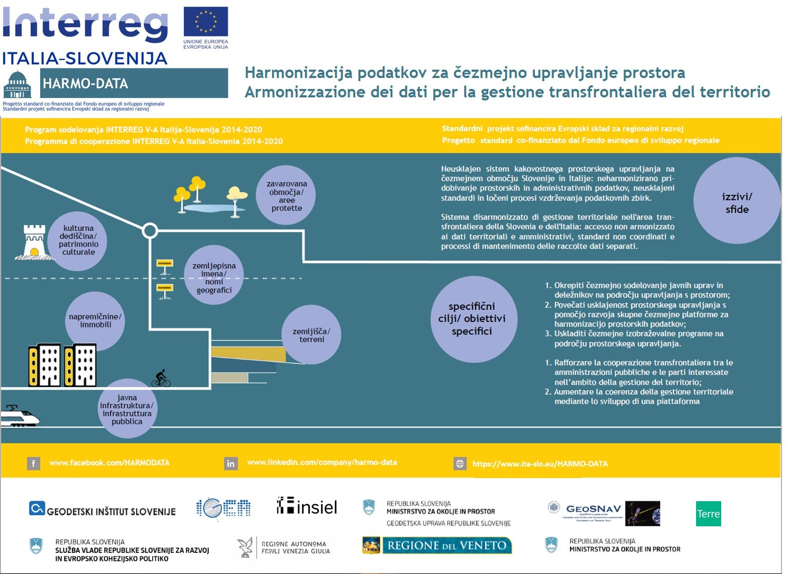
Una sfida comune nell’AP è stata rappresentata dal sistema di gestione territoriale non armonizzato che rallenta l’acquisizione di informazioni ai fini di un’adeguata gestione del territorio da parte delle istituzioni pubbliche e autorità locali, regionali e nazionali. L’obiettivo generale è stato quello di rafforzare la capacità di cooperazione istituzionale transfrontaliera tra le autorità pubbliche e i responsabili della pianificazione territoriale, promuovendo la creazione di soluzioni congiunte per il coordinamento dei sistemi e un’efficace gestione del territorio. L’obiettivo è stato conseguito con lo sviluppo di un modello congiunto di gestione del territorio, comprensivo di una piattaforma per l'armonizzazione dei dati territoriali, e di un Protocollo di gestione territoriale sottoscritto dalle autorità competenti nell'area. I principali output di progetto sono stati: un Protocollo per l’armonizzazione dei dati territoriali, una piattaforma congiunta per l'armonizzazione dei dati territoriali e beneficiari coinvolti nel percorso di formazione nel campo della gestione del territorio. I gruppi target sono stati: decisori politici, autorità nazionali, regionali e locali, imprese, protezione civile e organizzazioni che operano nella prevenzione dei rischi ambientali, aree protette, università e centri di ricerca. L'approccio transfrontaliero ha consentito, con il consolidamento dei rapporti tra le autorità pubbliche e lo scambio di buone prassi tra i responsabili della gestione territoriale, di coordinare le politiche e aumentare le conoscenze per un'efficace pianificazione congiunta e l’attuazione di un modello integrato di gestione del territorio. La creazione di una piattaforma territoriale in linea con la direttiva INSPIRE ha rappresentato una soluzione innovativa nell'area, dove la gestione territoriale non era coordinata. I comuni selezionati hanno potuto sperimentare il suo funzionamento, garantendo così un efficace trasferimento del modello per la futura gestione congiunta dell’area transfrontaliera.
Il rafforzamento della cooperazione transfrontaliera istituzionale tra le autorità pubbliche e gli operatori principali nel campo della gestione territoriale nell’area di confine mediante la creazione di nuove reti professionali di cooperazione transfrontaliera tra i rappresentanti sloveni e italiani, provenienti sia dalle istituzioni statali/regionali che dal settore privato. La gestione territoriale può operare in modo efficiente solo mediante una buona cooperazione transfrontaliera di tutte le parti coinvolte, che è stata garantita dalla composizione complementare del partenariato. I partner e i partner associati del progetto hanno garantito la presenza dei gestori principali dei processi territoriali nell’area transfrontaliera. Il rafforzamento della capacità gestionale nel campo della pianificazione territoriale delle autorità pubbliche e dei soggetti principali dell’area di confine mediante l’impostazione di un nuovo sistema transfrontaliero che ha permesso la verifica su tutto il territorio, lo scambio dei dati e delle informazioni e delle buone prassi nell’area transfrontaliera. Mediante l’armonizzazione dei dati territoriali transfrontalieri garantiti le parti interessate del settore pubblico potranno accedere in modo più facile e veloce alle raccolte dei dati territoriali, necessari per l’espletamento dei loro compiti, diminuendo così il tempo necessario per l’effettuazione in ogni singolo compito e contribuendo così al superamento degli oneri amministrativi. Il progetto ha contribuito ad incrementare la cooperazione transfrontaliera tra i cittadini e le istituzioni dell’area di programma mediante l’impostazione di un sistema unico per la gestione dei dati territoriali che ha contribuito al raggiungimento dell’indice del programma ossia al rafforzamento delle capacità delle autorità pubbliche e delle parti interessante nell’area di cooperazione e della gestione territoriale transfrontaliera.
Partner capofila

Partner progettuale n.1
Partner progettuale n.2

Partner progettuale n.3

Partner progettuale n.4

Partner progettuale n.5
| Poster evento annuale 30/05/2018 HARMO-DATA_ITA1.pdf ( 471 byte, pubblicato il 12 Giugno, 2018 - 10:04 ) | |
| PROTOCOLLO PER L’ARMONIZZAZIONE DEI DATI TERRITORIALI / PROTOKOL ZA HARMONIZACIJO PROSTORSKIH PODATKOV R2. WP 3.1.1 PROTOKOL_PROTOCOLLO_signed.pdf ( 6 byte, pubblicato il 29 Giugno, 2020 - 12:44 ) | |
| DICHIARAZIONE D'INTENTI PER L’ARMONIZZAZIONE DEI DATI TERRITORIALI / IZJAVA O NAMERI ZA HARMONIZACIJO PROSTORSKIH PODATKOV R2. WP 3.1.1 DICHIARAZIONE D'INTENTI _IZJAVA O NAMERI_signed.pdf ( 6 byte, pubblicato il 29 Giugno, 2020 - 12:44 ) | |
| Analisi e Identificazione dei Dati Territoriali R1. WP 3.1.1. Analisi e Identificazione dei Dati Territoriali.pdf ( 1 byte, pubblicato il 11 Dicembre, 2020 - 06:27 ) | |
| CATALOGO BILINGUE DEGLI OGGETTI TERRITORIALI R1.WP 3.2.1 CATALOGO BILINGUE DEGLI OGGETTI TERRITORIALI.pdf ( 553 byte, pubblicato il 11 Dicembre, 2020 - 10:39 ) | |
| COLLEGAMENTO GEOMETRICO DI OGGETTI TRANSFRONTALIERI R2.3.2.1_COLLEGAMENTO GEOMETRICO DI OGGETTI TRANSFRONTALIERI.pdf ( 1 byte, pubblicato il 11 Dicembre, 2020 - 11:48 ) | |
| Specifica dell'integrazione dei data model territoriali R3.WP3_.2.1 Specifica dell'integrazione dei data model territoriali.pdf ( 371 byte, pubblicato il 15 Dicembre, 2020 - 06:50 ) | |
| SPECIFICA DELLA PIATTAFORMA PER I DATI TERITORIALI TRANSFRONTALIERI R4.WP 3.2.2 SPECIFICA DELLA PIATTAFORMA PER I DATI TERITORIALI TRANSFRONTALIERI.pdf ( 798 byte, pubblicato il 15 Dicembre, 2020 - 15:07 ) | |
| Piattaforma spaziale transfrontaliera congiunta R5.WP 3.2.2 Piattaforma spaziale transfrontaliera congiunta.pdf ( 3 byte, pubblicato il 17 Dicembre, 2020 - 08:20 ) |


OBIETTIVI PRINCIPALI DEL PROGETTO
L’obiettivo principale del progetto era rafforzare le capacità di cooperazione istituzionale con la mobilitazione delle autorità pubbliche e degli operatori principali della pianificazione territoriale al fine di creare soluzioni congiunte volte all’armonizzazione dei sistemi e alla gestione più efficace dell’area transfrontaliera, soprattutto mediante una piattaforma transfrontaliera per l’armonizzazione dei dati territoriali. Nell’ambito del progetto verrà creato un programma di formazione congiunto nel campo della gestione territoriale a livello transfrontaliero.
Operazione co-finanziata dal Fondo Europeo di Sviluppo Regionale