An important part of the process of joining the UNESCO Global Geoparks Network is the participation of so-called aspiring geoparks—which Kras–Carso currently is—in conferences, workshops, and other network meetings. At these gatherings, aspiring geoparks introduce themselves, exchange experiences, explore similarities and differences, and learn from others. The Global Geoparks Conference takes place every two years, alternating with the biennial conferences of the European Geoparks Network.
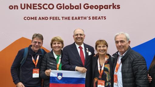
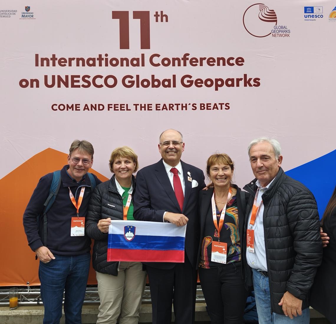
This year, the conference was held in Chile, in the city of Temuco, within the Kütralkura UNESCO Global Geopark. Among the hundreds of participants from more than 50 countries were Dr. Matevž Novak from the Geological Survey of Slovenia and Martina Stupar from the Institute of the Republic of Slovenia for Nature Conservation, who presented the activities of the KRAS–CARSO II project. The conference was divided into several thematic sections (11GGNCONF_PROGRAMME_2025.pdf), featuring lectures, workshops, and round tables according to the subject matter. They presented three contributions about the Kras–Carso Geopark—two oral presentations and one poster. During the conference, a “GeoFair” also took place, where geoparks from around the world showcased their regions, products, and local crafts. The conference also provided an opportunity for GGN board and assembly meetings. This year, members elected a new president for the next four years—Professor Artur A. Sá from Portugal.
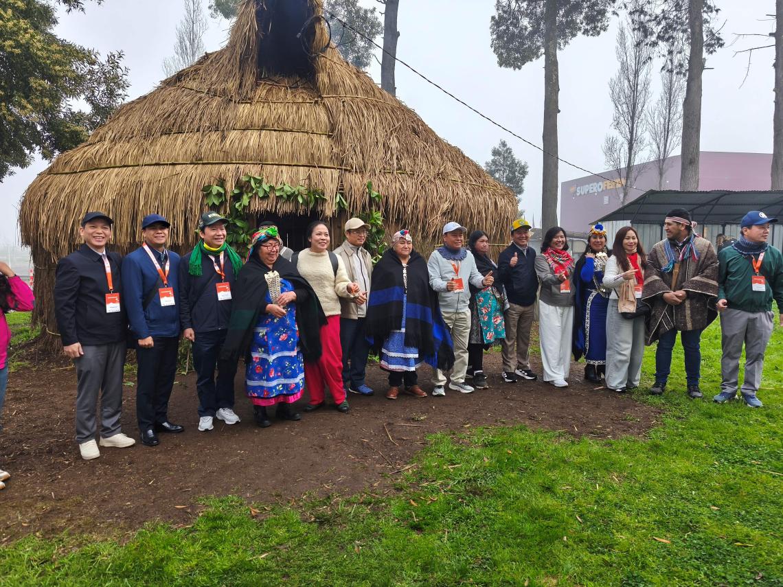
One day of the conference was dedicated to field excursions, during which participants explored the geological heritage of the Kütralkura Global Geopark, learned about its management, and met with local communities. Kütralkura is currently the only geopark in Chile. Its geology—as well as that of Chile as a whole—reflects over 200 million years of tectonic and volcanic processes. The subduction of the Nazca Plate beneath the South American Plate is the largest geological process in South America, responsible for the ongoing uplift of the mighty Andes. Along the eastern border with Argentina lie dozens of still-active volcanoes—four of which are within the geopark area. The largest among them, Mount Llaima (3,179 m), is also one of the most active volcanoes in Chile.
The Andean region is rich in snow cover, resulting in numerous glacial lakes and an extensive river network. The inhabitants, including the indigenous Mapuche–Pewenche people, preserve the heritage of their ancestors. They presented their customs, dances, rituals, traditional food and drinks, and way of life, which, despite centuries of Spanish influence, has endured. Today, their heritage is increasingly recognized and preserved, with growing national support.
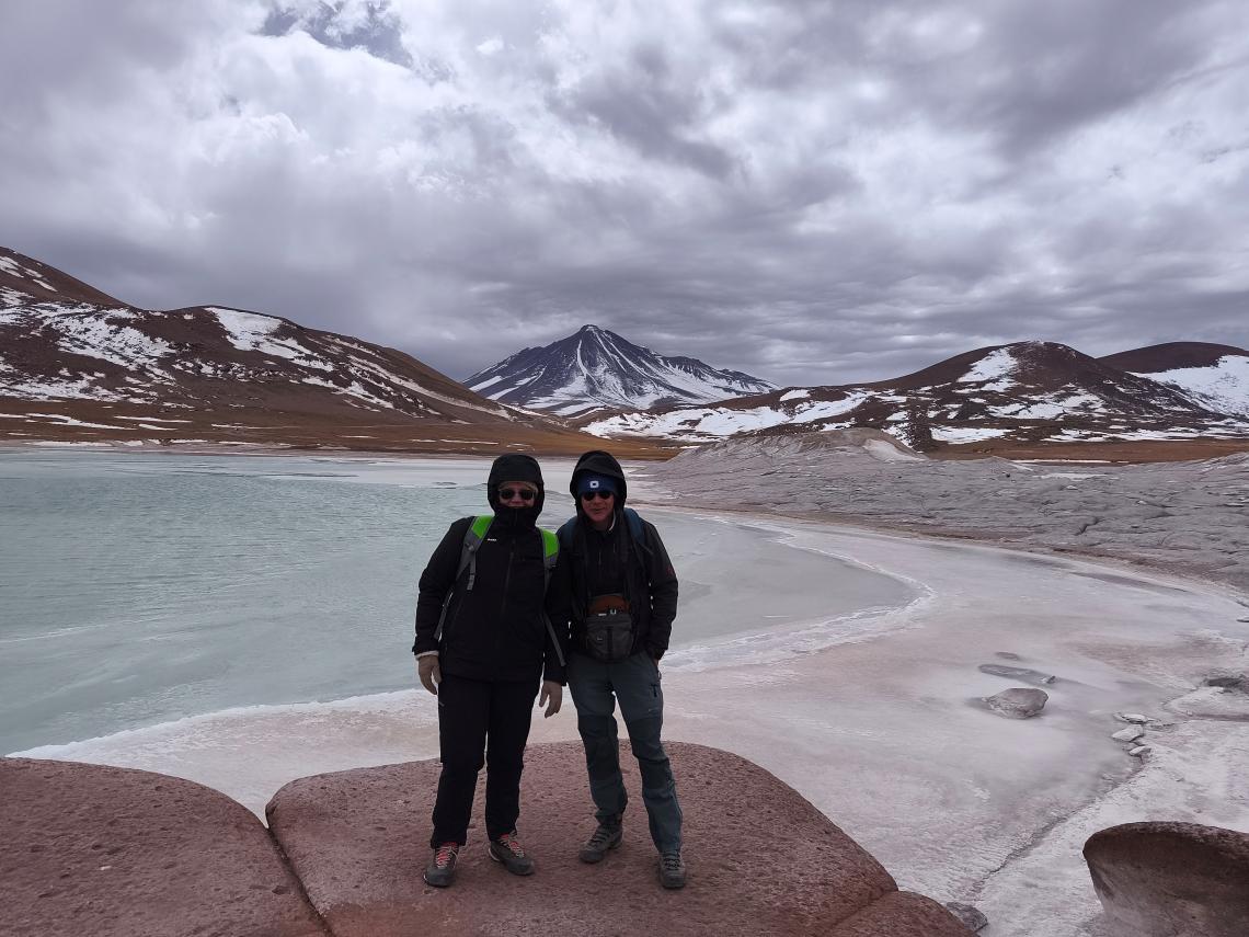
Before the conference, a geological field excursion was organized in the Atacama Desert, located at an altitude of 2,400 meters. It is the driest place on Earth, bordered by the Andes to the east and the Pacific Ocean to the west. Because of its extreme (hyper-)aridity, clear skies, intense solar radiation, and microbial life in extreme environments, this area is often compared to the surface of Mars. The region is also known for its exceptional mineral wealth—it holds the largest copper deposits in the world, Chile is among the leading producers of molybdenum, and its underground brines contain high concentrations of lithium.
The Atacama also has remarkable biodiversity. In the saline lagoons and volcanic foothills live all four species of flamingos, and one can observe llamas, guanacos, vicuñas, alpacas, and even wild donkeys roaming freely. Its geological heritage is extraordinary, with phenomena closely linked to ancient oceanic sediments. Notable features include dykes with thick layers of rock salt, areas of unique stromatolite formation—the so-called “living stones” of the salt lagoons—and volcanoes forming the 1,500 km-long eastern boundary of the desert.
Below the volcanoes—some still active, such as Licancabur, El Tatio, Lascar, and Aguas Calientes—stretch colorful volcanic ash and lava fields, geyser zones, glacial lakes, wetlands, and vast volcanic plains dotted with sparse grasses and cacti. The high-altitude Atacama Plateau (Altiplano) borders Bolivia and Argentina. Rare and endemic plant and animal species—especially diverse cacti—and the region’s exceptional geological features are the reasons for numerous protected areas. Management of these areas largely rests in the hands of local Atacameño communities, who preserve both nature and their cultural heritage.
Presentations and Poster
Martina Stupar & Jana Preradovič; Integrating nature conservation into sustainable tourism in the classical Karst: outcomes from the KRAS-CARSO II cross-border project.
Matevž Novak: Handbook for the interpretation of geological heritage in the Kras-Carso cross-border geopark.
Ana Hrast, Alenka Poklar, Jerneja Modic & Martina Stupar: Summer on demand mobility in the cross border Kras-Carso geopark.
Text and photos by Martina Stupar and Dr. Matevž Novak.