TORRENT
Specific objective: SO 4 - Promoting climate change adaptation and disaster risk prevention, resilience, taking into account eco-system based approaches
Typology: Standard project
Due to increasingly frequent extreme weather events, particularly in light of current climate change, precise and effective planning of torrent control measures has become an essential tool for preventing geo-hydrological risks. This type of risk knows no administrative boundaries; therefore, in vulnerable areas such as Italy and Slovenia, the adoption of joint strategies to improve watercourse management and protect infrastructure, property, and lives is of vital importance. Furthermore, modern planning of interventions requires a watershed-level approach, even in cross-border cases. Therefore, cooperation among public authorities, sectoral agencies, and research organizations is the only way to exchange diverse perspectives and knowledge, enabling the development of joint solutions based on a broader view of shared challenges. The TORRENT project was specifically designed to establish common and transnational guidelines for monitoring the condition and functionality of torrential stream control structures, as well as for assessing the long-term effectiveness of these structures, prioritizing maintenance interventions, and improving watershed management strategies.
The project established common and transnational guidelines for monitoring the condition and functionality of torrential stream control structures.
It assessed the long-term effectiveness of these structures on individual watercourses.
It prioritized maintenance interventions and improved watershed management strategies.
The TORRENT project brought together the knowledge and experience of Slovenian and Italian partners and developed common procedures and tools for monitoring torrents and torrent control structures. The results support the assessment of the effectiveness of existing structures, the identification of priority maintenance measures and more coordinated river basin management. They enable managers to make decisions based on historical data, field surveys and modern spatial analyses.
Pilot catchments and field surveys
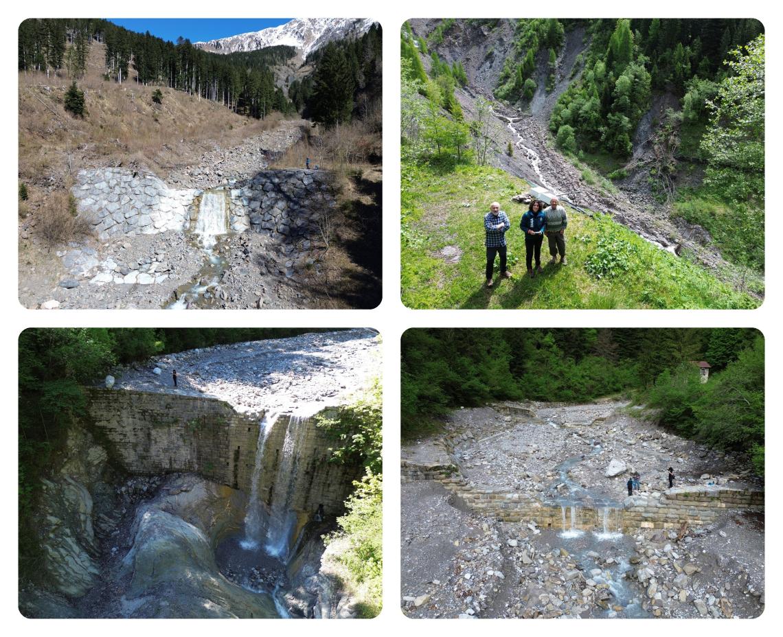
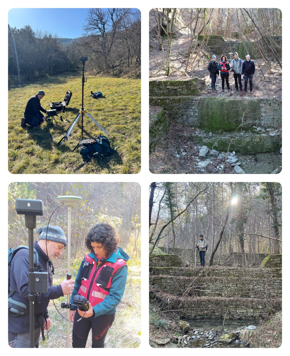
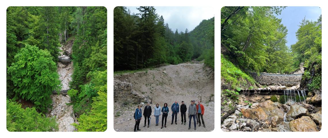
The common methodology was tested in the pilot areas of the Moscardo and Orteglas torrents in Italy, as well as the watercourse near Krvavec and the Osapska River in Slovenia. The partners collected historical and current data, inspected the condition of torrent control structures and carried out topographic surveys. Comparing digital terrain models from different periods enabled the analysis of erosion, sediment deposition and changes in stream channels.
The report on the pilot areas presents their natural characteristics and the main geo-hydrological processes. It provides a starting point for understanding the differences between catchments and adapting measures to their specific characteristics.
Download the document: Report on the pilot areas
View photographs of field surveys on the pilot watercourses
Common guidelines for improved planning and maintenance
Based on experience gained in the pilot areas, the partners prepared common guidelines on good and poor practices. The document addresses data collection, processing and exchange and highlights issues that may affect the quality of analyses and the planning of measures.
The guidelines promote the use of comparable data and coordinated workflows. Together with the assessment of the condition and functionality of structures and the use of the Maintenance Priority Index (MPi), they provide a technical basis for determining the order of priority of maintenance interventions.
Download the document: Joint guidelines on best and worst practices
Transfer of results to other catchments
The report on opportunities for scaling up brings together the project’s key results: the shared database, digital terrain models from different periods, the Maintenance Priority Index and the operational tools developed.
The document presents opportunities to apply these results in other Slovenian and Italian catchments and at broader spatial scales. It thus provides a basis for the continued use of the project’s solutions in monitoring watercourses, assessing the effectiveness of structures and planning maintenance, including after the project has ended.
Download the document: Report on intervention options
Tool for QGIS
The HydroGeomorphology Tools for QGIS plugin was developed as part of the project for professionals involved in hydrological planning and river basin management. The tool supports the application of the developed methodology within the QGIS environment and the processing of spatial data to analyse processes in catchments.
The plugin enables research results to be transferred into the practical work of managers and planners and supports the repetition and updating of analyses with new data.
Access to the tool: HydroGeomorphology Tools for QGIS
Knowledge exchange and final conference
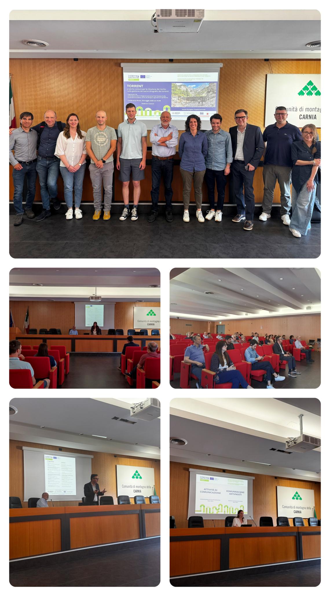
The project results were presented at the final conference on 28 May 2026 in Tolmezzo. The event brought together representatives of research organisations, public administrations and other institutions working in watercourse management and natural risk reduction.
The partners presented the procedures and tools developed, experience gained in the pilot areas and the importance of communication for disseminating and using the results. The conference enabled a technical discussion on the continued use of the solutions and opportunities for future cross-border cooperation.
Download the presentation by the University of Udine:
Presentation of the Project and Its Results IT
Presentation of the Project and Its Results SI
Download the presentation by the Regional Development Centre Koper: Presentation of the Project's Communication Activities
View photographs of the final conference in Tolmezzo