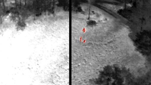
The partnership will use remote sensing technology for the purposes of the project (in addition to static observations with cameras and sensors, the use of a drone is planned), which can be particularly useful in the early detection of potential hazards (e.g., fire), surveying the territory affected by catastrophic event (e.g., the extent of fire and a flood). Information on the extent of the disaster is also primordial for the subsequent phase related to the recovery of the consequences and activation of different types of aid to those affected by the extreme event.
The experiences of different states and regions (Veneto and FVG regions, Slovenia) on harmonization and uniformity of databases will be particularly useful in this regard, to which we will refer to the know-how and experience of standardization at the community level. “The Data Warehouse” will be a set of data and tools/technologies for using the data through services (api) and GIS applications for web, desktop and mobile devices.
The data will also be used to design The Cross-Border Action Plan for the Prevention of Natural Disasters and Support in the Repair of Disaster Damage, where elements of the necessary technological equipment as well as organizational models and measures to ensure cross-border operations will be included.

