The IN4SAFETY Project has the following specific objectives:
• Promote resilience capabilities by strengthening cross-border cooperation between local authorities and rescue teams through the development of 2 joint action plans;
• Integrate numerical territorial information within Web GIS geo-portals;
• Promote the implementation of joint training programs and the training of rescue teams.
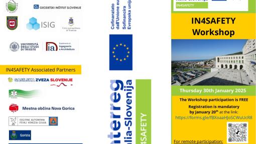
With regards to Integrating numerical territorial information within Web GIS geo-portals, IN4SAFETY WORKSHOP took place on 30 January 2025 from 9.30 to 17.30 at the University of Trieste.
The workshop included a morning session with presentations of the aims of the IN4SAFETY Project and ongoing activities, and an afternoon session dedicated to the practical use of the open-source QGIS software and the analysis of esa copernicus Sentinel 1, 2 images ( live session in Italian and in presence on the participants' personal PCs).